
The Vail Blog
Back Bowls and Beyond
Get the inside scoop on everything you need to explore our Legendary Mountain!
Showing9 of 29

Powder Playbook - Holiday Edition!

Powder Playbook - Thanksgiving
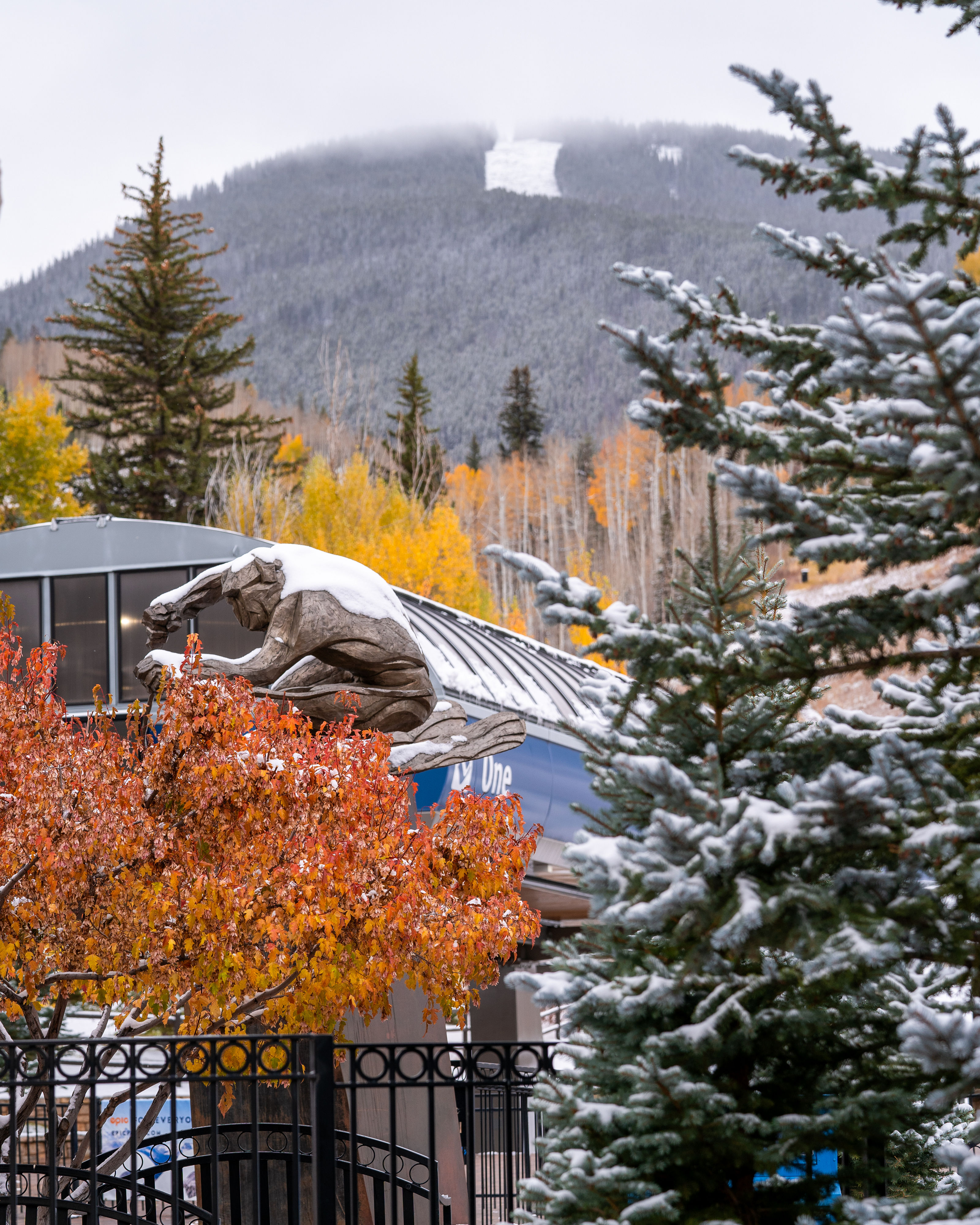

Top 5 Things To Do In Vail This Fall


Start Planning Your Summer Trip to Vail

Top 6 Thing To Do In Vail In April!

A Powder Hound's New Best Friend

How to Make the Most our of your MLK Weekend Trip to Vail

Christmas Holidays at Vail Mountain!

It's a BIG week at Vail Mountain

Thanksgiving Week Skiing and Riding


Vail Mountain's Photo Pros Talk Fall Photography

Tips For Summer In the Mountains

20th Anniversary GoPro Mountain Games kick off summer in Vail

Check Out The New Hangout At Golden Peak

National Brotherhood of Skiers Selects Vail Mountain for 2023 Golden 50th Anniversary Summit

Fun in the Sun: Spring Skiing in Vail


Legendary Terrain: Biggest Mountain in CO

Behind the Rope Drop: Blue Sky Basin

The Best Day: A Beginner's Guide to Vail

A Guide to Adventuring at Altitude


The History Behind Vail’s Trail Names
Showing9 of 29